These sand islands reach from South Stradbroke Island, off the Gold Coast, to Fraser Island, just to the south of the Great Barrier Reef. The largest of these islands, Fraser Island was formed as the sand was deposited over what was once a low, hilly terrain formed millions of years ago by volcanic activity.
While most of the sand that makes up Fraser Island has come from the far south-east of Australia, some of it has travelled for thousands of kilometres and millions of years from Antarctica, starting its journey before Australia and Antarctica split from each other.
About 700 million years ago Antarctica had mountain ranges that rival the modern-day Himalayas. These mountain ranges were eroded with the resulting sands being accumulated on the continental shelf where Fraser Island now lies.
Periodic changes in the earth's temperature have created changes in sea levels which have helped to form the island.
During these periods dune building was at its most prolific with sand sweeping across the island faster than plants could stabilise it. This loose, bare sand formed U or V-shaped parabolic dunes which then stabilised over time.
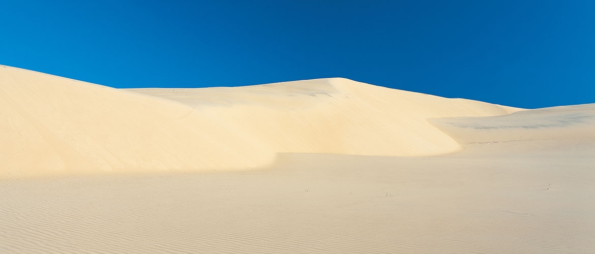
This dynamic landscape has formed a series of overlapping sand dune systems dating back at least 700 000 years. The shifting sands of Fraser Island, and those of nearby Cooloola, have continually concealed and revealed a unique geological history.
Fraser Island's dunes have the longest and most complete age sequence of coastal dune systems in the world.